
Categories
Hiking Trails in Mount Washington ValleyPublished November 13, 2026
Favorite Hiking Trails in Mount Washington Valley

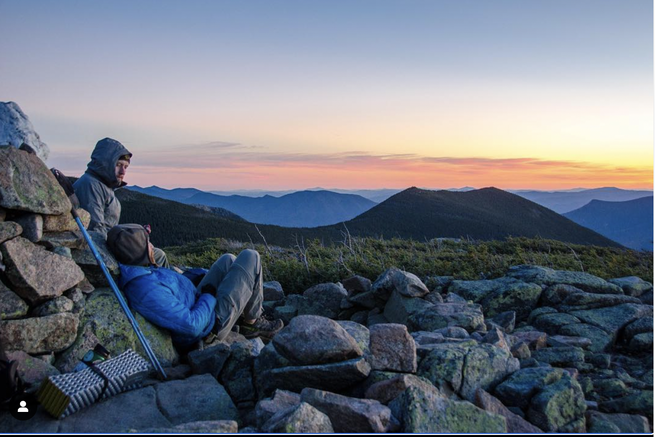
FOR ALL HIKES, Sturdy shoes with good grip are necessary, as the granite summit ledges can become slippery when wet or icy. Be prepared for any type of weather, as the summit temperatures will be colder than at the trailhead. If you’re not an experienced hiker, do not venture out onto the more difficult trails.
MOUNTAIN POND (easy)
Mountain Pond is a beautiful water body. There is a shelter along the pond that is a great place to go for a first-time backpacking trip.
The trail is rocky in places and there is a stream crossing, so using trekking poles is helpful. After a storm, the trail can be very wet and flowing with water.
- Distance: 2.7-mile loop around the perimeter of the pond
- Elevation Gain: 55 feet (mostly flat and easy walking)
- Difficulty: Moderate due to minor obstacles like rocky patches and a stream crossing, though generally considered an easy nature walk
- Fees / Permits: None (free to hike and park)
- Trailhead Location: Parking area off Town Hall Road in Jackson, NH
Directions: From Intervale, follow Town Hall Road uphill to National Forest Service gate and keep going several miles on the dirt road until you come to the Mountain Pond parking area on your right. Road is closed in winter.
DIANA’S BATHS (easy)
Diana's Baths is considered an easy family hike that covers 1.2 miles and covers an elevation gain of 85 feet. This is beautiful short hike if you are in the North Conway area and want to experience nature at its finest. Diana's Baths lie along Lucy Brook in Bartlett, fed from Big Attitash Mountain. During the summer, the baths are an excellent place for children and adults alike to explore the many rocks, ledges, cascading falls, and pools in the brook. The cascading falls measure approximately 75 feet in total height. This trail is very well marked and it can be very busy during the height of tourist season. Best to visit this trail during the off-season.
Directions: From North Conway, take River Street and follow around the bend to the right, to West Side Road toward Bartlett, destination will be on your left.
BLACK CAP TRAIL (easy to moderate) is a very popular, family-friendly hike located in the Green Hills Preserve near North Conway, New Hampshire. This hike features a gradual forest climb over dirt, roots, and rocks, ending with a short rock scramble up open granite ledges, with sweeping panoramic vistas of the Mount Washington Valley, the Presidential Range, Moat Mountain, Cranmore Mountain, and parts of western Maine.
- Length: Roughly 2.4 to 2.6 miles round-trip (out-and-back or loop)
- Elevation Gain: About 590 to 660 feet
- Difficulty: Easy to moderate
- Summit Elevation: 2,369 or 2,370 feet
- Cost / Fees: Free parking and no entrance fees required
Directions: From North Conway, take Hurricane Mountain Road to the height of land. There is a parking lot at the summit. This road is closed in winter.
DOUBLEHEAD (moderate to difficult) Above Jackson Village, the twin peaks of Doublehead Mountain rise sharply overhead, looking out towards Mount Washington and the surrounding White Mountains, stretching north and west. Doublehead Mountain is home to the historic Doublehead Ski Trail, a classic backcountry ski trail descending from North Doublehead (3,053') down to Dundee Road. Built by the Civilian Conservation Corps in the 1930's, the historic Black Mountain Cabin atop North Doublehead has housed hikers and skiers for generations. Reservations are required to stay in the cabin.
- Traditional Loop: 4.1 miles with roughly 1,700 feet of elevation gain.
- Alternative Route (New Path / Old Path): About 2.7 to 2.9 miles with 1,400 feet of elevation gain.
- Ski Trail Route: About 3.8 miles with 1,696 feet of elevation gain.
- Difficulty: Hard / Steeper than average, with sustained, direct climbs and no switchbacks.
- Pets: Dog-friendly (must be kept on a leash)
Directions: From Jackson Village, head north on Black Mountain Road / US-16B. Continue uphill for 2.1 miles past Black Mountain Ski Area and stay straight on the main road as Black Mountain Road bears left and the road continues uphill as Dundee Road. Continue up Dundee Road for 0.6 miles, and the signed parking lot is on the left.
ARETHUSA FALLS (moderate) is a dramatic 140-160 foot waterfall located in Crawford Notch State Park in Harts Location, NH. Widely considered the tallest single-drop waterfall in the state, it is formed as the headwaters of Bemis Brook plunge over a steep granite cliff. Trail Options: You can take the more direct Arethusa Falls Trail or loop in the steeper Bemis Brook Trail, which passes smaller cascades like Coliseum Falls and Fawn Pool.
- Length: Roughly 2.8 to 3.1 miles out-and-back, depending on your route.
- Elevation Gain: Approximately 850 to 950 feet.
- Difficulty: Rated as moderate (though some rocky, root-heavy sections require careful footing).
- Time: Around 2 to 3 hours round trip.
MOUNT WILLARD (moderate)
Although dwarfed by the high mountains all around it, Mt. Willard's enormous south cliff makes an impressive peak to travelers on Rt. 302. Mt. Field rises 1500 feet above it to the east while Mt. Webster looms 1100 feet over it to the west. But Mt. Willard's perfect position is what gives it such an incredible view. Its cliff-top summit yields a view looking straight through the southern part of Crawford Notch that the higher peaks can only see far below.
Length: 3.2 miles out-and-back
Difficulty (click for info): Easy to moderate
Elevation Gain: 900 feet
Elevation: 2850’
Directions: Route 302 West toward Bretton Woods. Park at the Crawford Notch Train Depot.
CAPS RIDGE TRAIL (difficult)
is a strenuous, 5.0 to 5.9-mile out-and-back hike in New Hampshire's White Mountain National Forest that leads to the summit of Mount Jefferson (5,715 feet), the third-highest peak in the state. The reason that I included it on my list of favorite hikes is that at the beginning of the trailhead on Jefferson Notch Road, you’re at an elevation of 3008 ft, so you’ve already covered significant elevation in you car before you begin your hike
Difficulty: Hard / Strenuous (Class 3 granite scrambling with significant exposure; featured on New Hampshire's "Terrifying 25" list).
- Distance: ~4.6 to 5 miles round-trip.
- Elevation Gain: ~2,690 to 2,700 feet.
- Trailhead Elevation: 3,008 feet (the highest trailhead accessible by a public road in the White Mountains).
- Trailhead Location: Jefferson Notch Road, Randolph, NH 03593 (parking holds about 24 cars and fills up very early on weekends)
Directions: Route 302 West toward Bretton Woods, turn right onto Base Station Road at the sign for the Cog Railway. Drive 4.5 miles, go left on Jefferson Notch Road. Continue about 3.2 miles up this steep, winding dirt road to the trailhead parking area at the height of land.

Adam Dow
| The Dow Group | #1 Real Estate Team in New Hampshire
or another way